A 5.8 magnitude earthquake struck Central California around 10:45 a.m. on Wednesday, according to the U.S. Geological Survey (USGS).
The epicenter of the tremor was around 180 miles north-northeast of Los Angeles in Lone Pine. The tremor, namely, struck in remote Inyo County, which is located just east of the Sierra Nevada mountains near the California-Nevada border.
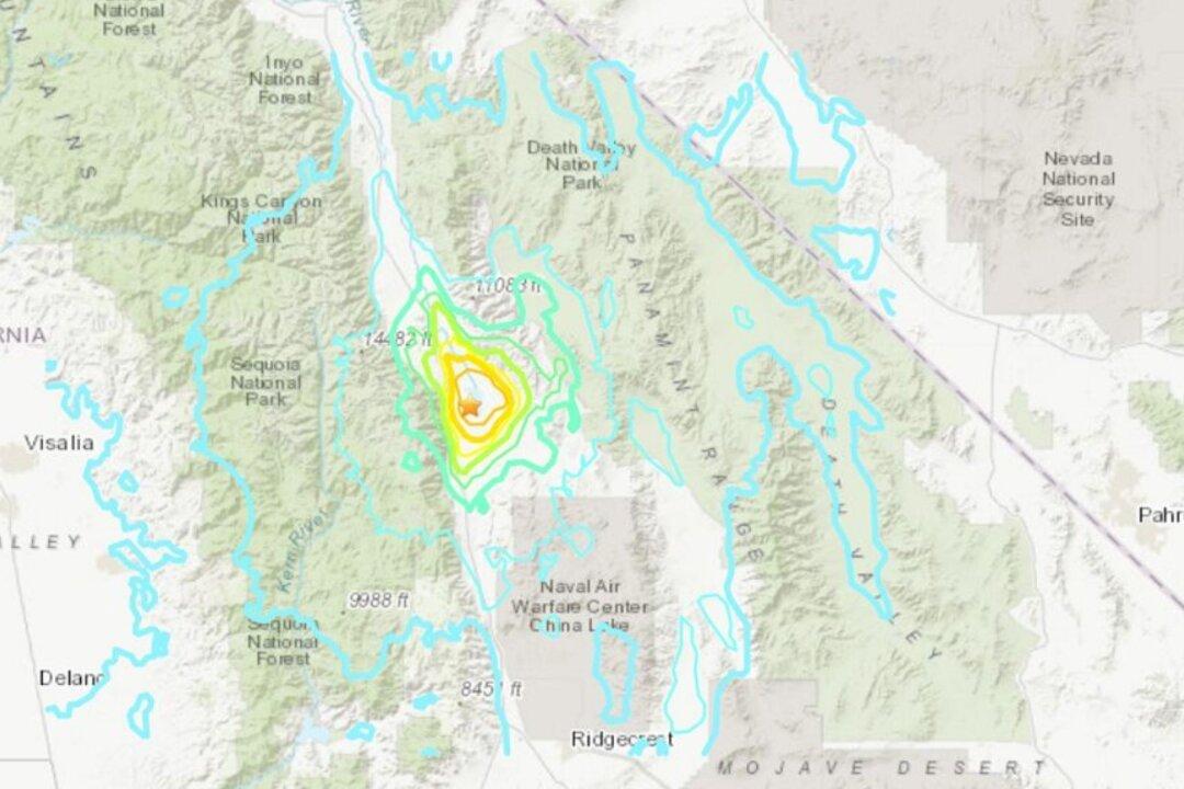
Several aftershocks of 2.5, 3.1, and 3.6 were felt after the temblor.
The tremor came about a day after a 7.4 magnitude earthquake struck off the coast of southern Mexico, killing at least six people and damaging numerous homes.
Former USGS seismologist Lucy Jones said on Twitter that the earthquake took place in the vicinity of a 4.6 magnitude tremor on Monday.
California, along with the entire West Coast, is located on the seismically volatile “Ring of Fire” that encircles the Pacific Ocean. The vast majority of the world’s earthquakes and volcanic activity occurs along the ring, which is shaped like a horseshoe.