The United States and Canada have entered their 12th round of negotiations on the Columbia River Treaty, a 1960s-era agreement between the two countries that covers flood control, hydroelectric power generation, and other facets of water resources management in the massive, cross-border Columbia River Basin.
The agreement’s flood control provisions are set to expire in 2024, 60 years after the treaty’s 1964 ratification, with the latest round of negotiations starting on Jan. 10. Initial negotiations over the new agreement started in May 2018 under U.S. President Donald Trump and Canadian Prime Minister Justin Trudeau.
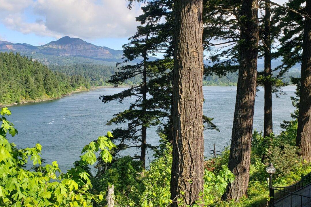
Key to the negotiations are transboundary water flows from one U.S. dam—the Libby Dam—and three Canadian dams—the Duncan, Mica, and Keenleyside (or Arrow) dams.
Under the terms of the original treaty, Canada provided 15.5 million acre-feet of storage for Columbia River flow at those dams. In exchange, the United States paid Canada $64.4 million for flood control until 2024, along with half of the downstream hydropower energy produced in the United States as a result of the water released at those Canadian dams.
The BPA’s 2013 recommendation noted that the treaty’s original language “does not identify ecosystem considerations.”
The document goes on to advise that such considerations ought to form the basis of a third main purpose of a modernized treaty, noting that the Columbia River Basin’s environmental well-being should be “a shared benefit and cost of the United States and Canada.”
The Province of British Columbia, which has the bulk of the rights and obligations associated with the treaty on the Canadian side, has emphasized similar concerns.
Barbara Cousens, an emerita professor at the University of Idaho who has written extensively about the treaty, told The Epoch Times that the Canadian dams created as a result of the treaty have been a major hindrance to efforts to reintroduce salmon above the Grand Coulee Dam. She said that people living near the dams were also displaced.
“The building of the dams in Canada flooded those valleys—and those valleys were made up of small communities,” she said. “The valleys were the only place for agriculture, because then you [only] have steep, forested mountains. So it really took away that livelihood for the local communities.”
The original treaty was spurred by 1948’s devastating Vanport Flood, which wiped the Portland, Oregon-area community of Vanport off the map.
Cousens said: “The people in the basin phrased it two ways. One is they said that the United States had moved the floods from Portland upstream to Canada.
“The other way they phrased it was that all of the hydropower benefits flowed to the coast—and by that they meant Victoria and Vancouver.”
Negotiations on both sides are being informed by local tribes and First Nations. In the case of the United States, representatives of the Kootenai Tribe of Idaho, the Confederated Tribes of the Umatilla Indian Reservation, and the Confederated Tribes of the Colville Reservation are part of the State Department’s negotiating team. On the Canadian side, tribes in the Columbia Basin Indigenous Nations have participated.
“Interestingly, a lot of bringing ecosystem function to the table was driven by the tribes,” Cousens said.
Officials with the Province of British Columbia and the U.S. Department of State were unable to comment by press time.