More Wet Weather Making Its Way Into the Southland

More Wet Weather Making Its Way Into the Southland
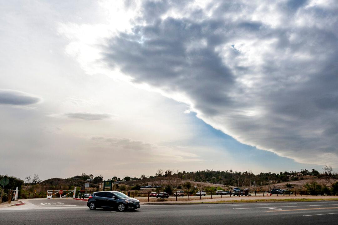
A line of storm clouds moves across Orange County as strong Santa Ana winds begin to blow in Orange, Calif., on Jan. 19, 2021. Mark Rightmire/The Orange County Register via AP
City News Service
Updated:

LOS ANGELES—A winter storm will make its way into the Southland late March 9, with some mountain areas potentially seeing more than a foot of snow and the rest of the region expected to see rainy conditions into March 11.

A winter storm watch will take effect March 9 and continue until the evening of March 11 for Los Angeles County mountains, excluding the Santa Monica range, with the National Weather Service anticipating snow accumulations of 6 to 12 inches and potentially up to 15 inches above 4,500 feet.
The snowy conditions will be joined by southwest winds of 15 to 30 mph, with gusts up to 45 mph.

Forecasters warned that conditions will make driving hazardous in the county’s northern reaches, with the Golden State and Antelope Valley freeways likely to be affected.

“A rain band looks to move into the region late Tuesday afternoon through Wednesday morning, then a cold and unstable air mass will continue showers with low snow levels down to 2,500-3,500 feet,” according to the National Weather Service. “Accumulating snowfall will likely affect travel through the Interstate 5 Corridor and on Highway 14.

“There is also a potential for thunderstorms across the area, possibly producing brief locally heavy rainfall.”

The Antelope Valley, which was already under a wind advisory March 8 thanks to gusts of up to 50 mph, will likely be under another such advisory on March 9.

“Rain will become likely across all but southern and eastern L.A. County by late Tuesday night, where there will be a chance of rain, then rain is expected across the region Wednesday,'' the NWS said.

Forecasters said the rain will be heavy at times on March 10.

“Rainfall totals are generally expected to average one-half to one inch, except locally 1.5 inches or possibly higher in the foothills and mountains below the snow level,” the NWS said.

The storm system is expected to move off to the east on March 11, although a smaller system could bring additional showers and some isolated thunderstorms on March 12.

Dry weather is expected to return by March 13 and continue through the weekend.

City News Service
City News Service
Author
Breaking news gathering service based in West Sacramento, California, USA Gathering and distributing breaking news content via video, photographic and audio
twitter
Related Topics