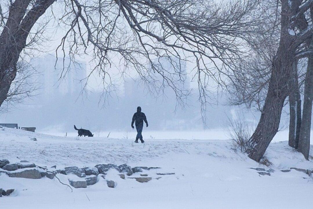
Amid rising temperatures across the United States, the Midwest might see another taste of winter.
Potentially damaging winds could also slam the Southwest, Great Basin, and the Central and Southern Plains, said government forecasters.
The storm is predicted to strengthen when it hits the Great Plains on Wednesday. At that time, the air pressure is forecast to drop to levels that were seen during the “bomb cyclone” that hammered the same areas in March.
“It’s not clear this storm will be strong enough to be deemed a bomb cyclone, as the jet-stream plunge isn’t as sharp as last month’s storm, but it will certainly be an intense low-pressure system that could flirt with all-time April low-pressure records in parts of the Plains,” the Weather Channel wrote.
Winter storm warnings and advisories have been sent out to 10 states, including parts of Utah, Wyoming, Montana, South Dakota, Colorado, Nebraska, Kansas, Minnesota, Iowa, and Wisconsin.
Up to a foot of snow is forecast in North-Central states, said AccuWeather.
A bomb cyclone is a rapid drop in air pressure — at least 24 millibars in 24 hours — and often is over or near oceans or seas because it requires warm moist air smacking into cold dry air, along with volatile weather from the jet stream.
“This blizzard will further exacerbate flooding in Nebraska with the added insult of heavy snowfall to eventually melt,” said Ryan Maue, a meteorologist at the private weathermodels.com. “This is more bad news for suffering farmers who are unable to flip the calendar on winter,” AP reported.
This week’s bomb cyclone one is expected to be similar in intensity and in snowfall, meteorologists said. Heavy, wet snow will fall from the Nebraska panhandle through south central and southeastern South Dakota into western Minnesota. Wind speeds can reach 50 mph to 60 mph (80 to 96 kph) across Kansas.
The storm, meanwhile, will exacerbate flooding concerns across the Midwest.