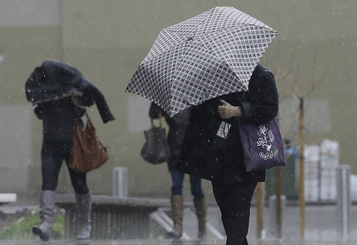
A cold and wet New Year’s Eve is in store for parts of the United States as meteorologists predict rainfall across a large portion of the country.
Folks in central and southern Arkansas, northern Louisiana, western Mississippi, and eastern Texas should think about changing any outdoor plans they’ve made for the afternoon and evening of Jan 2 because of the increased danger of storms.
Jan. 3 will continue to carry the risk of severe weather for portions of Louisiana, Mississippi, Alabama, and the western Florida Panhandle. There may be a shift in the affected area in the next few days as a result of some potential changes to the storm’s trajectory. The Mississippi River Valley and the western Ohio River Valley, are expected to see abundant rainfall.
Accu Weather Meteorologist Jake Sojea told The Epoch Times that while January isn’t thought of as a month for severe weather, this system could bring some serious concerns as we head into the new year.
Because the storm is moving fairly quickly, “damaging winds and tornadoes [are] the main threat,” Sojea noted.
“There is no indication this will lead to widespread flooding, but anytime we see severe storms or heavy downpour there could be a localized flooding threat.”
The meteorologist said the most severe weather will likely be seen on Jan. 2, with the possibility of eastern Mississippi and western Georgia seeing the brunt of the storm going into Jan. 3.
Portions of south Alabama could still be under storm danger on New Year’s Eve, according to the National Weather Service (NWS) who warned that destructive winds will be a concern on Dec. 31, and a tornado or two cannot be ruled out.
On the northern side of this system, gulf air will be forced into freezing temperatures, resulting in heavy snow for some and the possibility of ice. Weather Prediction Center has outlined the possibility of heavy snow from Jan. 1-3, starting in Wyoming on Dec. 31 and progressing east over the following two days.
Because the week’s precipitation enabled certain soils in the region to absorb rainfall, the NWS warns that “excessive runoff” might create flooding in “low-lying areas” with swelling of creeks, streams, and rivers. In locations with poor drainage, urban flooding may be a worry.
“It is almost that simple,” said NWS meteorologist Ryan Walbrun. “One of the biggest problems is, of course, the blocked culverts, whether that’s man-made trash or it just takes one log or a bunch of leaves and stuff to clog up the system. [Dec. 30] is kind of a break day, it’s going to rain on-and-off all day, so the soils don’t have time to really recharge.”
“Still looks quite mild for the holiday weekend, but also odds favor rainy conditions to conclude the year 2022,” according to the Weather Service’s regional Boston office.
Highs in Massachusetts are expected to reach 50 degrees, with lows in the 40s over the holiday weekend. The chance of rain rises to 90-100 percent, with fog, as wind gusts reach 28 miles per hour in some regions, including Boston.
According to the National Weather Service, Jan. 1 will be partly sunny with temperatures in the mid-50s.