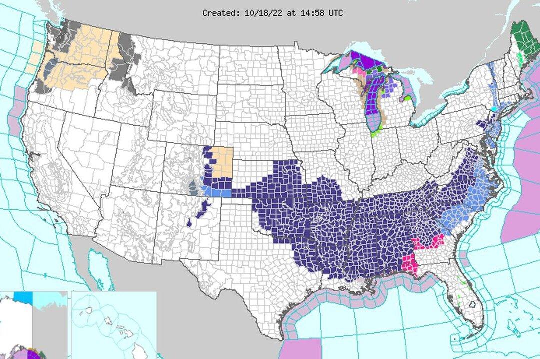
The coldest temperatures of the fall 2022 season have descended on parts of the U.S. East Coast and Midwest this week and may deliver snow in some areas.
“Winter storm warnings and winter weather advisories remain in effect for these areas as a result. Heavy rainfall and flash flooding is likely to focus along the leading edge of a cold front, which is pushing through Maine today,” it said in a Tuesday morning update. “Some rounds of light rain showers and thunderstorms may materialize over southern Texas and Florida today as the aforementioned cold front pushes through those areas.”
Snow was also reported Monday in northern Indiana, forecasters say.
“People should not expect a lot of snow anywhere from the shores of lakes Erie and Ontario to the mountains in West Virginia, western Maryland, western Pennsylvania and western, central and northern New York state,” stated AccuWeather Senior Meteorologist Brian Wimer.
The relatively cold air is expected to subside by the end of this week, according to the Weather Service, adding that most areas will see upticks in temperatures on Friday.
Meanwhile, U.S. natural gas futures held near a three-month low as forecasts for milder weather through the end of October offset forecasts for higher demand than previously expected. Gas futures have been declining for eight weeks on record output and reduced liquefied natural gas exports that have allowed utilities to inject much bigger than normal amounts of gas into storage over the past month.
The European Union was due to propose on Tuesday afternoon its latest response to an energy crunch that has prompted some European governments to draw up emergency plans that could mean rationing and blackouts this winter if supplies fall short. Because of the European shortage, Biden administration officials said that the U.S. would not impose any restrictions on exports of natural gas this winter.