South, East Brace for Big Storm, Significant Snowfall

South, East Brace for Big Storm, Significant Snowfall
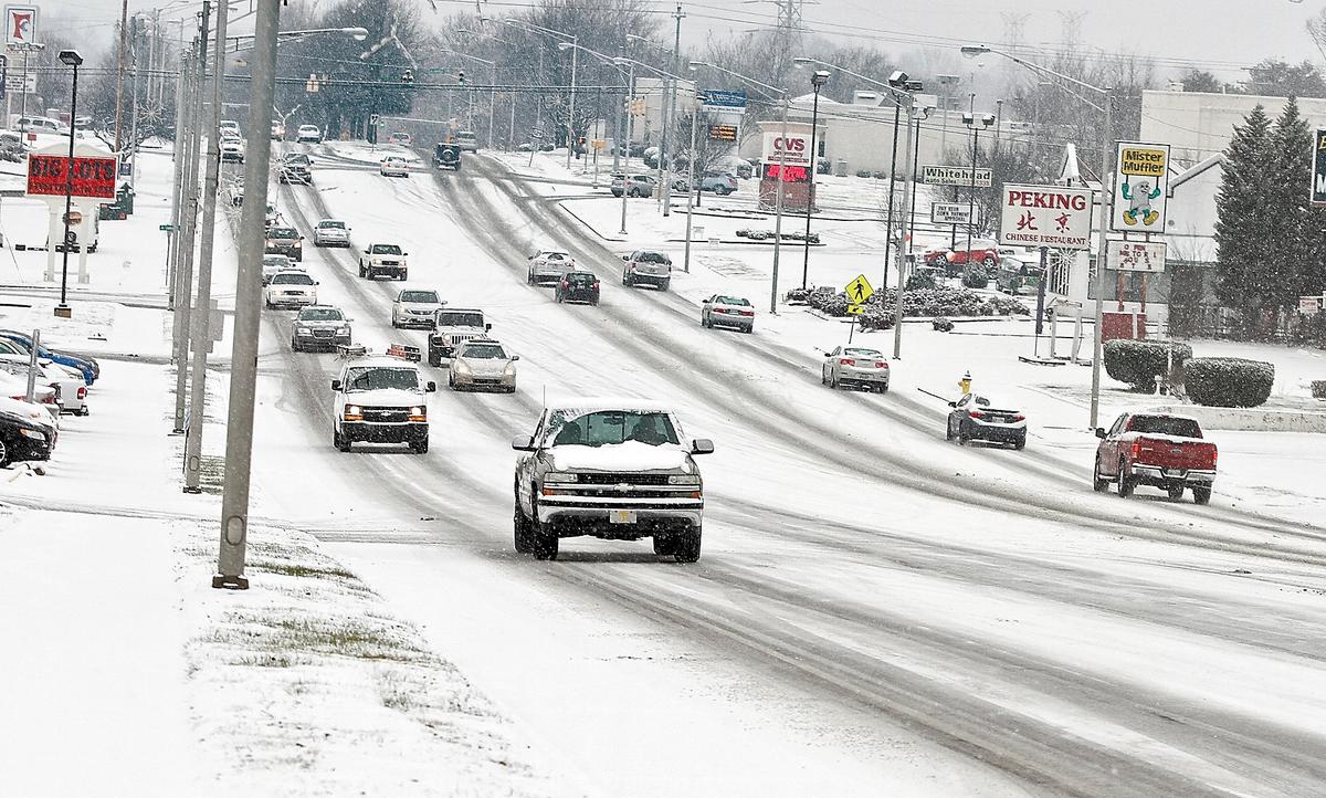
Traffic moves slowly along Hall Road Wednesday, Jan. 20, 2016, as snow falls making roads slippery, in Alcoa, Tenn. As the South and East braced for a nor'easter with the potential for significant snowfall by week's end, snow began to blanket much of Kentucky and Tennessee and contributed to at least one traffic-related death Wednesday. Tom Sherlin /The Daily Times via AP
The Associated Press
Updated:

WASHINGTON—The South and East are bracing for a nor'easter at week’s end with the potential for significant snowfall.

The National Weather Service’s Weather Prediction Center warns of heavy, “perhaps crippling” snow across the northern mid-Atlantic region, including Baltimore, Washington and Philadelphia.

District of Columbia Mayor Muriel Bowser said Wednesday that the city was preparing for blizzard conditions and up to 2 feet of snow. The city has requested Humvees from the National Guard to reach isolated people and places if necessary.
“If this is a blizzard and we have sustained winds and people lose power, that would be my biggest concern,” Bowser said at a news conference. “We can move the snow. We will move the snow.”

Barbara Davis walks her dog Haddix in the snowy weather Wednesday, Jan. 20, 2016, in downtown Bowling Green, Ky. Snow and drizzle began falling early Wednesday across much of Kentucky and Tennessee leading school districts and some universities to cancel classes and officials to warn motorists to drive carefully. (Miranda Pederson/Daily News via AP)
Barbara Davis walks her dog Haddix in the snowy weather Wednesday, Jan. 20, 2016, in downtown Bowling Green, Ky. Snow and drizzle began falling early Wednesday across much of Kentucky and Tennessee leading school districts and some universities to cancel classes and officials to warn motorists to drive carefully. Miranda Pederson/Daily News via AP

On Wednesday, the weather service issued blizzard and winter storm watches for parts of Maryland, Washington, Virginia and West Virginia. The watches start as early as Thursday and stretch into Saturday.

The bigger cities could get 1 to 2 feet of snow, but first the storm will bring ice and freezing rain to Arkansas, Tennessee and Kentucky starting Thursday, prediction center Meteorologist Rich Otto said. But it’s not yet clear where the storm will hit the hardest, he said Wednesday.

“There’s a lot of details that are yet to be seen,” Otto said. “Subtle changes can make a big difference. We’ve seen that in storms in the past.”

Jason Lee, a Western Kentucky University student from Korea, walks in the falling snow Wednesday, Jan. 20, 2016, in Bowling Green, Ky. Snow and drizzle began falling early Wednesday across much of Kentucky and Tennessee leading school districts and some universities to cancel classes and officials to warn motorists to drive carefully. (Miranda Pederson/Daily News via AP)
Jason Lee, a Western Kentucky University student from Korea, walks in the falling snow Wednesday, Jan. 20, 2016, in Bowling Green, Ky. Snow and drizzle began falling early Wednesday across much of Kentucky and Tennessee leading school districts and some universities to cancel classes and officials to warn motorists to drive carefully. Miranda Pederson/Daily News via AP

The storm may reach Philadelphia on Friday night and affect New York City and Long Island as it moves north.

In the areas where blizzard conditions are possible, the weather service warns that travel will be limited if not impossible and the strongest winds and potentially life threatening conditions are expected Friday night through Saturday night.