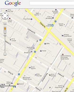
NEW YORK—Almost four years after adding public transit information to Google Maps, Google announced Tuesday it is adding planned subway work and its effect on people’s routes.
After clicking on a station on Google Maps, any planned changes will pop up, and be included in transit directions.
“For everybody who lives in one of New York City’s five boroughs, commutes in and out every day, or is visiting for business or vacation, we hope today’s update improves the ease and efficiency of your trips around the city,” said Csaba Garay, transit partner technology manager for Google Maps, in a blog post.
The Epoch Times publishes in 35 countries and in 19 languages. Subscribe to our e-newsletter.


