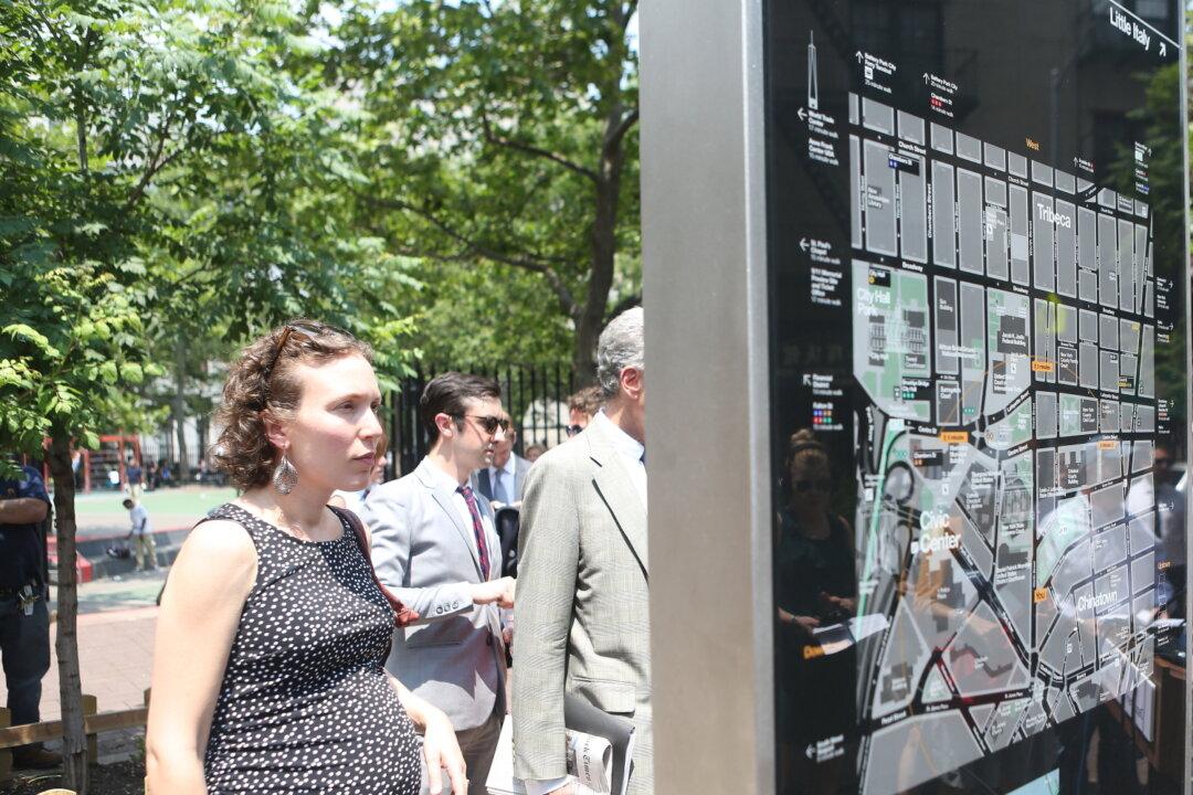
NEW YORK—Finding the hot spots in communities throughout New York City is now a bit easier thanks to new free-standing pedestrian maps installed into sidewalks and in subway stations throughout NYC.
The first four maps of WalkNYC were announced for Chinatown on June 24, and more are soon to come in select neighborhoods.
“You don’t need to be a tourist to feel turned-around on New York’s streets, and this first-ever unified pedestrian sign system is a step in the right direction,” said Department of Transportation (DOT) Commissioner Janette Sadik-Khan, in a press release.
The WalkNYC maps are meant to be a first step in building an information system for pedestrians. The maps are designed to be easy to read, showing street locations, key points of interest, travel information, including subway stops and bike lanes, and estimated walking times.
In New York City, 31% of all trips are made by foot, and 22% of all car trips are under one mile, according to the DOT.
“Whether on the sidewalks or before emerging from the subway, these signs will bring a common language to our streets and help knit together our neighborhoods,” Sadik-Khan said.
After the four free-standing maps are built in Chinatown, the next will be built in the Garment District, Prospect Heights, Crown Heights, and Long Island City. Some key bus stops and subway stations will also get pedestrian maps.
“As Long Island City is integrated into the launch of this wonderful system we will be able to highlight one of New York City’s hottest neighborhoods for all to see,“ said Council Member Jimmy Van Bramer, in the press release. ”With some of the city’s best cultural institutions and arts organizations, Western Queens offers a wide array of venues that will once and for all put Long Island City on the map for good.”
The WalkNYC maps have also been incorporated into the more than 300 Citi Bike stations that have been installed in Manhattan below 59th Street and portions of Brooklyn extending from DUMBO to Bedford-Stuyvesant.
So far, 100 maps are scheduled to be installed in a first phase. They stand about eight-and-a-half feet tall and vary in width at 18, 34, or 50 inches.


