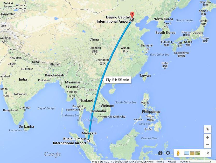
The updated Malaysia Airlines route map has the plane inexplicably turning around mid-flight and going further west than the Kuala Lumpur International Airport--which it took off from--bringing more questions than answers.
The Malaysian military has radar data showing the missing Boeing 777 jetliner changed course and made it to the Malacca Strait, hundreds of kilometers (miles) from the last position recorded by civilian authorities, according to a senior military official.
The development injects more mystery into the investigation of the disappearance of Saturday’s flight, and raises questions about why the aircraft was not transmitting signals detectable by civilian radar.
Local newspaper Berita Harian quoted Malaysian air force chief Gen. Rodzali Daud as saying radar at a military base had detected the airliner at 2:40 a.m. near Pulau Perak at the northern approach to the strait, a busy waterway that separates the western coast of Malaysia and Indonesia’s Sumatra island.
“After that, the signal from the plane was lost,” he was quoted as saying.
A high-ranking military official involved in the investigation confirmed the report and also said the plane was believed to be flying low. The official spoke on condition of anonymity because of the sensitivity of the information.

(Google Maps)
The development raises questions about why the plane was headed west past Kuala Lumpur, where it took off. Its route to Beijing had it headed northeast.
The search for the missing plane has spanned many miles amid a number of speculative reports about the plane’s last location. Some reports initially said that it had made an emergency landing in Nanming, China, which was denied by airline officials and Chinese officials. Others said that it crashed in Vietnam after making it across the South China Sea, which officials also denied.
Vietnamese local media quoted the country’s Navy on Saturday as saying the plane had been located about 120 miles off the coast of the country, but hours later those accounts were denied by Malaysian Airlines officials.
Still other reports pinpointed the last location of the plane as over the sea, indicating that it may have plummeted into the water wholly or in pieces after meeting with poor weather, though the weather appeared clear in the area at the time.
The search was complicated by the airline and officials not beginning until around nine hours after the plane lost contact with air traffic controllers.
The Associated Press contributed to this report.
MORE:
Zaharie Ahmad Shah, Fariq Abdul Hamid Pilots on Missing MH370 Flight: Who Are They?
Malaysia Airlines Missing Flight MH370 Conspiracy Theory: Why Are Passengers Cell Phones Ringing?


