“Don’t mention the weather!” says my companion when I go to meet a friend from southeast Queensland. After years of drought and water rationing, the heavens opened halfway through last year and, as my Queensland friend bemoans, “It is still raining!”
Not for long though, say weather forecasters, weatherzone.com.au. Indications show that the La Niña cycle, which has broken rainfall records throughout eastern and northern Australia over the last ten months, is finally coming to an end.
A La Niña cycle occurs when sea surface temperatures in the Pacific become colder in the east near South America and warmer in the west near Australia. This in turn causes strong southeast trade winds and increased air moisture, bringing rainfall to the north and East coast of Australia.
Colder air temperatures combined with subsequent positive changes in air pressure, measured in the Southern Oscillation Index (SOI), produce what is known as the La Niña effect, Weatherzone says.
“We have seen a return of near normal sea surface temperatures through the Pacific over the last month, while the SOI index has also returned to neutral territory in the last week. Therefore we can safely say that the current La Niña has concluded, following a once-in-a-lifetime event,” said Alex Zadnik, Senior Meteorologist at Weatherzone.
According to Australian meteorologists, the recent La Niña events surpassed those seen in the 1970s and rivalled the wettest years recorded to date, 1916-17.
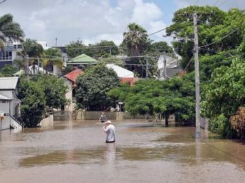
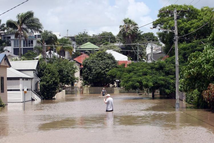
This year’s rainfall smashed 100-year-old records, particularly throughout south east and central Queensland with 500,000 square kilometres of land including 86 towns and cities affected by resultant flooding. Thirty five people lost their lives.
Flooding rain was also experienced in the Northern Territory right through Victoria to South Australia and even Tasmania.
Inland towns like Taroom in central Queensland and Mildura in Victoria doubled their annual rainfalls the latter receiving the highest annual total since records began in 1889. Broken Hill in western NSW had already picked up more than its average annual rainfall in the first three months of 2011.
After years of record breaking heat, Adelaide too had its wettest summer since 1973-74 and Alice Springs its wettest year since 1974.
Dick Whitaker, senior meteorologist with the Weather Channel, says La Niña also contributed to the intensity of Cyclone Yasi, which caused widespread flooding and devastation in Queensland in early February.
“2010 saw one of the greatest rainfall turnarounds in the recorded meteorological history of Australia,” he told the Brisbane Times.
Weatherzone’s Nick Zadnik says the extreme wet of this year’s La Niña event has now passed, but acknowledges that it is difficult to predict what conditions lie ahead.
“Looking ahead to next spring and summer, it’s not yet clear whether we will see La Niña conditions redevelop, or even return to the drier El Niño pattern.
The scientific consensus is for neutral conditions into spring, although it is still a little too early to tell which way things will swing,” Mr Zadnik said.


