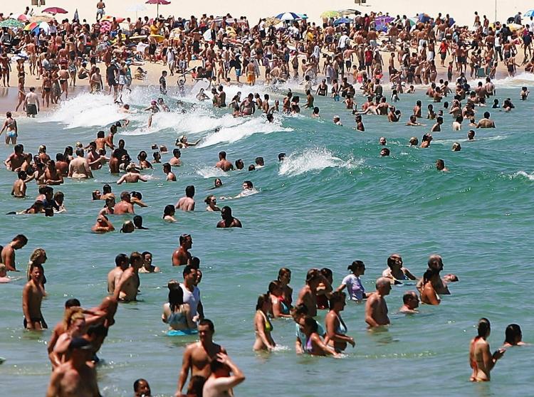
Hot, dry conditions in south-east Australia may mean perfect beach weather for the upcoming summer, but the unusual weather patterns continue to raise concerns about climate change.
Meteorologists predict that nearly all of Australia may experience higher than average temperatures in the period from October through the end of December. Dry conditions continue in the south-east with no relief in sight.
The southern Murray–Darling Basin has been one of the most affected areas.
“Because it is another year of generally below average rainfall in the south-east, over the long term the water shortages have gotten progressively worse,” said Dr Blair Trewin, a climatologist at the Bureau of Meteorology.
“Victoria has seen rainfall over the last 12 years which is the lowest on record for such a sustained period. In eastern Tasmania, this year has so far been the driest year on record.”
October has been particularly dry, as Adelaide has so far received only 15 per cent of the average total spring rainfall.
Authorities have declared total fire bans across South Australia. Nearly 15 bushfires were started across the State on Saturday October 25, spurred on by unusually dry, hot conditions and strong winds.
Meanwhile, parts of Queensland, Western Australia and the Northern Territory are predicted to experience unusually high rainfall. The Glascoyne region of western WA has the highest chances of exceeding the median rainfall from October to the end of December.
Warm currents in the western and central Indian Ocean combined with cool currents immediately south of Indonesia appear to be associated with the unusual weather patterns. The effect has been similar to that of an El Niño season.
“We do know that ocean temperatures around the world are increasing as land temperatures are. Considering the temperature increases we’ve seen globally, it’s quite clear that human activities have had a strong influence,” said Dr Trewin.


