Doksuri to Gain Super Typhoon Strength as It Hurls Towards China

Doksuri to Gain Super Typhoon Strength as It Hurls Towards China
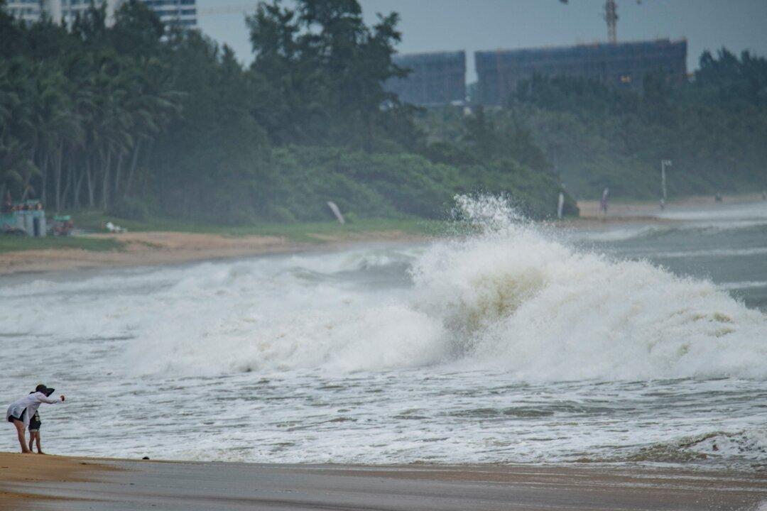
People watch big waves at a sea shore as Typhoon Talim approaches in Boao, in China's southern Hainan province, on July 17, 2023. (CNS/AFP via Getty Images)
Reuters
7/24/2023
Updated:
7/24/2023
0:00

BEIJING—Doksuri, a tropical storm building over the sea to the east of the Philippines, is set to become a super typhoon as it hurls towards the coast of southern China, potentially making initial landfall in Taiwan.

The maximum wind speed near Doksuri’s eye could reach super typhoon levels of 58 meters per second, or 209 kilometers per hour, as the storm approaches the southern coast of Taiwan, according to the China Meteorological Administration on Monday.
As of 8:00 a.m. Beijing time (0000 GMT), Doksuri, which means “eagle” in Korean, was about 940 km east of the Philippines, packing winds with speeds of up to 42m/s seen in severe typhoons, the second-most powerful category after super typhoons.

With their destructive winds, monster storms like super typhoons can uproot trees, down power lines, and shatter windows, while accompanying storm surges inundate cities and wreak havoc on infrastructure.

Doksuri may pass or make landfall on the southwestern coast of Taiwan before slamming into the Chinese coastal province of Fujian on Friday, the China Meteorological Administration said.

The last typhoon to have made landfall in Taiwan was in 2019.

As Doksuri churns towards China, it is expected to bring very hot weather in the region from the mid-week, including Hong Kong, according to the Hong Kong Observatory.

Typhoons, as hurricanes are called in East Asia, form over warm sea water.