Clean-Up From Kirrily Begins Following ‘Tense’ Evening

Authorities have now begun the process of restoring power to tens of thousands of homes and businesses.
Clean-Up From Kirrily Begins Following ‘Tense’ Evening
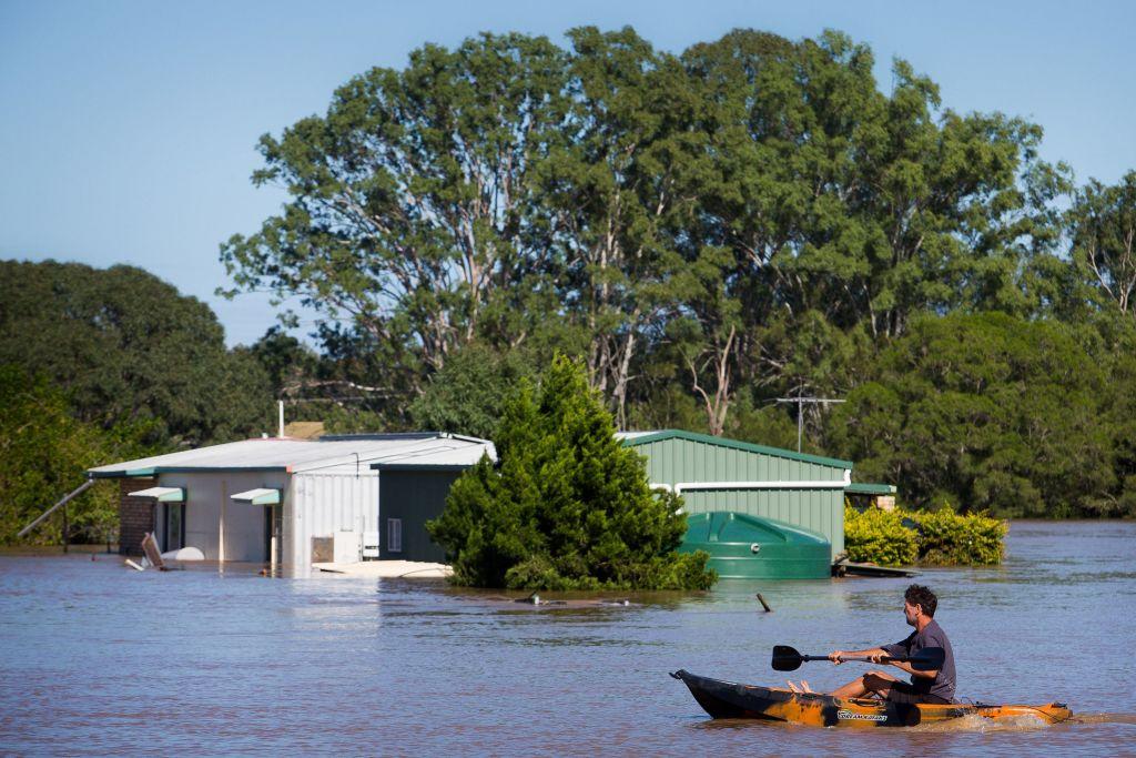
A resident uses a kayak to paddle past a house, partially submerged under floodwaters caused by Cyclone Debbie, to rescue a stranded cow on his property in Brisbane, the capital city of Queensland, Australia, on April 1, 2017. (Patrick Hamilton /AFP via Getty Images)
AAP
By AAP
1/26/2024
Updated:
1/26/2024
0:00
The clean-up from ex-Tropical Cyclone Kirrily has begun in north Queensland after the weather system was downgraded to a tropical low.

Damaging winds and rainfall totals from 100-150mm hit regions on Thursday evening, Jan. 25, but minimal property damage was recorded.

Authorities have now begun the process of restoring power to tens of thousands of homes and businesses.

About 100 Ergon Energy workers were on the ground conducting damage assessments, with a further 600 headed to Townsville over the weekend.

“They’re mobilising from across the state,” Ergon’s cyclone response leader Chris Hooper said.

Vegetation and trees on powerlines must be cleared before crews can assess the full extent of the damage to the grid.

Their priority is to reconnect emergency services, hospitals, schools and critical infrastructure.

Queensland Premier Steven Miles called Thursday’s weather event a tense night and said residents had woken up with a sense of relief.

“Yesterday we said we were preparing for the worst but hoping for the best and largely that seems to be what has happened,” he told reporters on Jan. 26.

No lives have been lost in the cyclone and 65,000 homes and businesses across the region remain without power, the majority of which are in Townsville.

Authorities said 215 calls for service were made to the SES in the last 24 hours but no swift water rescues were needed.

More calls for service are expected as the clean-up from Cylone Kirrily continues.

The Bureau of Meteorology has warned remnants from Cyclone Kirrily will move to western parts of Queensland in the coming days bringing extreme moisture and heavy-to-intense rainfall.

Flood watches will continue for areas between Tully, Airlie Beach, parts of the central west and Gulf catchments.

There is also the possibility for minor-to-major riverine flooding in those areas as the system moves west.

Federal Emergency Management Minister Murray Watt said the Australian Defence force remains on standby to assist but initial reports indicate it will be within the state government’s capacity to manage.

Townsville Airport had reopened by 3pm Friday, Jan. 26.

Kirrily approached the coast on Thursday night as a severe category three system, producing gusts up to 170km/h.

Its intensity slipped to category two just before making landfall about 10pm and eased to a category one system after moving inland, with maximum gusts of 120km/h about midnight.

Offshore reefs registered peak gusts up to 140km/h with sustained winds above 116km/h. Closer to the coast the top gusts were 107km/h at Alva Beach and around the Townsville area, 91km/h.

The rapidly transforming system lingered in the Coral Sea for days, a tropical low finally developed into Cyclone Kirrily on Wednesday. It was then upgraded to category two on Thursday morning but took just five hours to reach category three status.

North Queensland had bunkered down by 2pm AEST on Thursday as winds intensified.

More than 120 schools were closed with hundreds of emergency services on standby.

Many Australia Day ceremonies planned for Friday were cancelled while Queensland Rail services north of Rockhampton were suspended.

A continued monsoon in north Queensland will be monitored closely by the bureau as it is expected to bring heavy rainfall to the region in the latter part of next week.